Photo taken with a GoPro Hero 3 Black Edition carried by a Hexacopter (DJI S800). Camera has been stabilized with a Zenmuse H3-3D. Altitude was around 120 meters above ground.


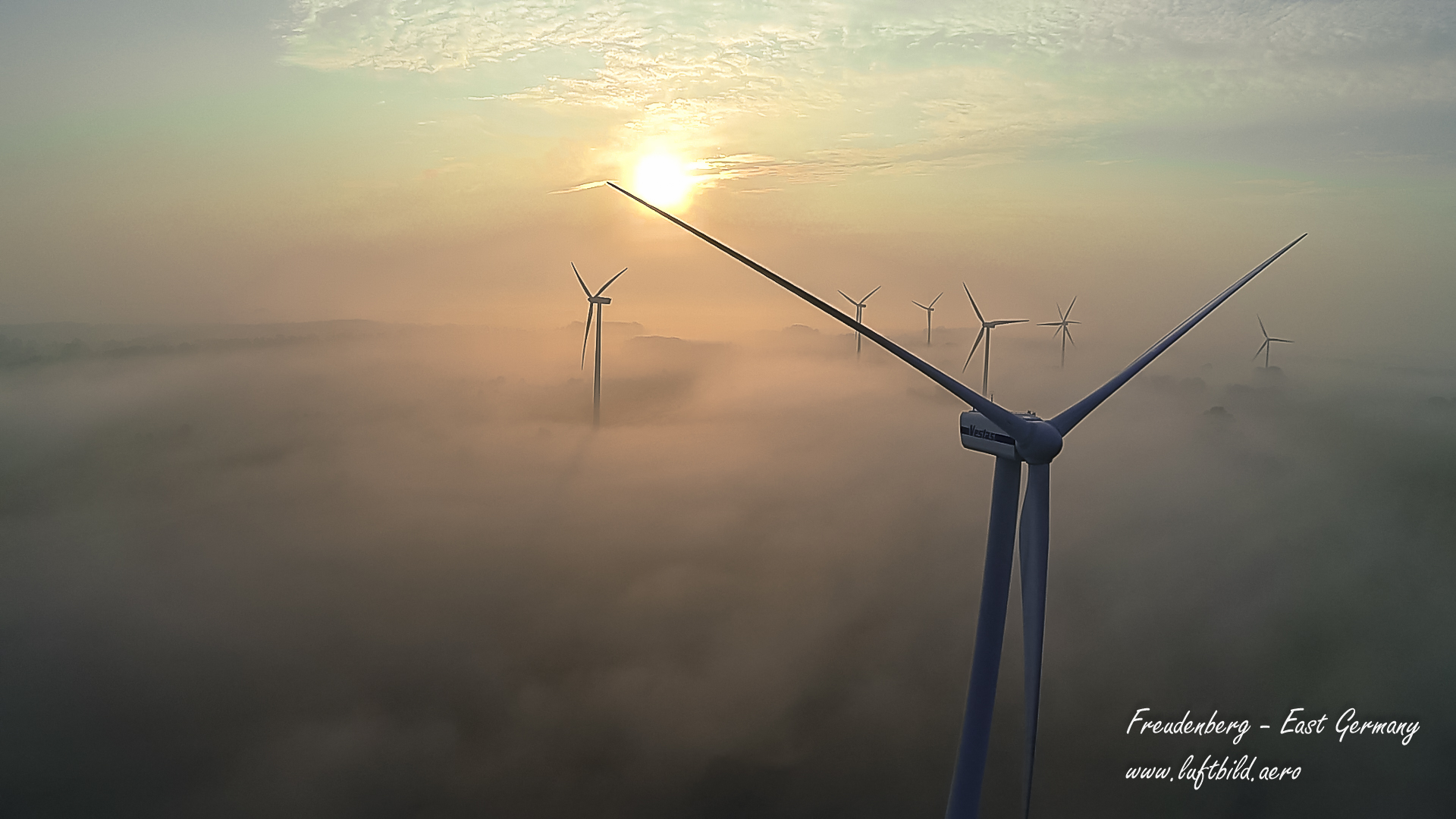
Photo taken with a GoPro Hero 3 Black Edition carried by a Hexacopter (DJI S800). Camera has been stabilized with a Zenmuse H3-3D. Altitude was around 120 meters above ground.


