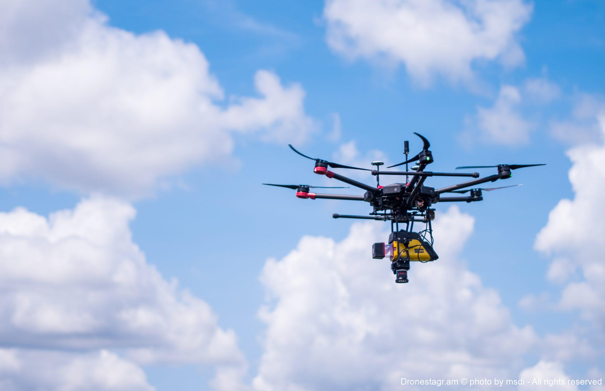
Our drone lidar doing a survey with the lidar vx-15 (riegl sensor). Photo taken from our inspire 2. see my website https://www.msdi.co.id


Our drone lidar doing a survey with the lidar vx-15 (riegl sensor). Photo taken from our inspire 2. see my website https://www.msdi.co.id