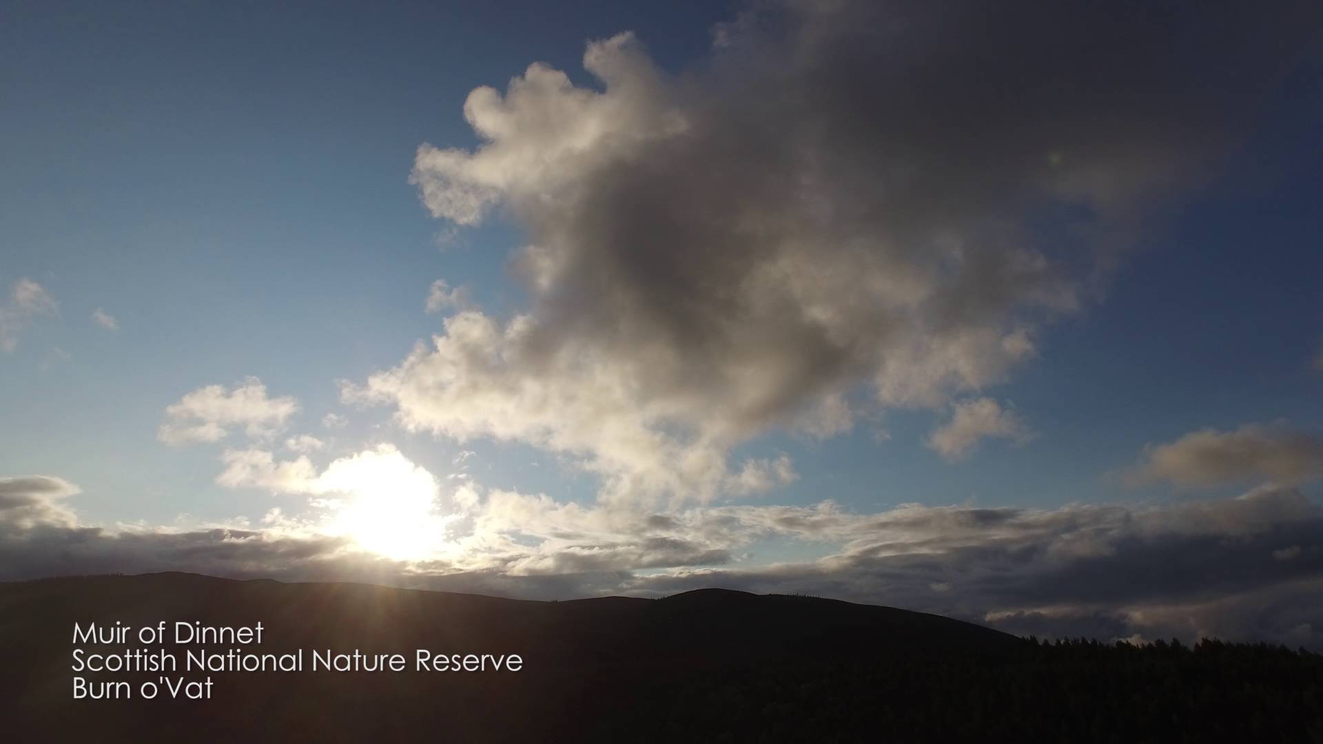
A scenic Scottish landscape – transpired by amazing views in the Scottish Highlands captured using a DJI Inpire 1 camera platform.
Around 16 000 years ago, the area surrounding Burn O’Vat was covered by a glacial ice sheet. As the area warmed around 14 000 years ago, the ice sheet began to melt, resulting in a torrent of melt water that carried with it debris previously caught up in the glacial ice. This debris, consisting of rocks and boulders, is thought likely to be the most important component of the formation of Burn O’Vat.
It is thought that a rock, from the melt-water stream, became lodged in a small hollow on the river bed, causing the melt water to flow around it in a spiralling motion. This spiralling motion caused the bed underneath the rock to erode over a long period of time, creating a feature known as a pothole.
View from above the Vat, showing its bowl shape
Around 13 500 years ago the volume of melt water decreased to such a level that the stream began to deposit more than it was eroding. This change resulted in the deposition of sand and gravel into the bottom of the pothole. It is believed that this sediment extends down around 5–7 metres, below the current ground level, though no-one can be certain of the true value.
The pothole, known locally as ‘The Vat’, measures 18 metres across and 13 metres high, from present ground level.
Approximately 12 000 years ago, the entrance to the vat was exposed when the rock in front of it was undercut by the same stream that formed the vat, albeit in the form of a waterfall.
All footage is copyright of Stuart Hill – Rokh Drone Productions – No reproductions without concent


