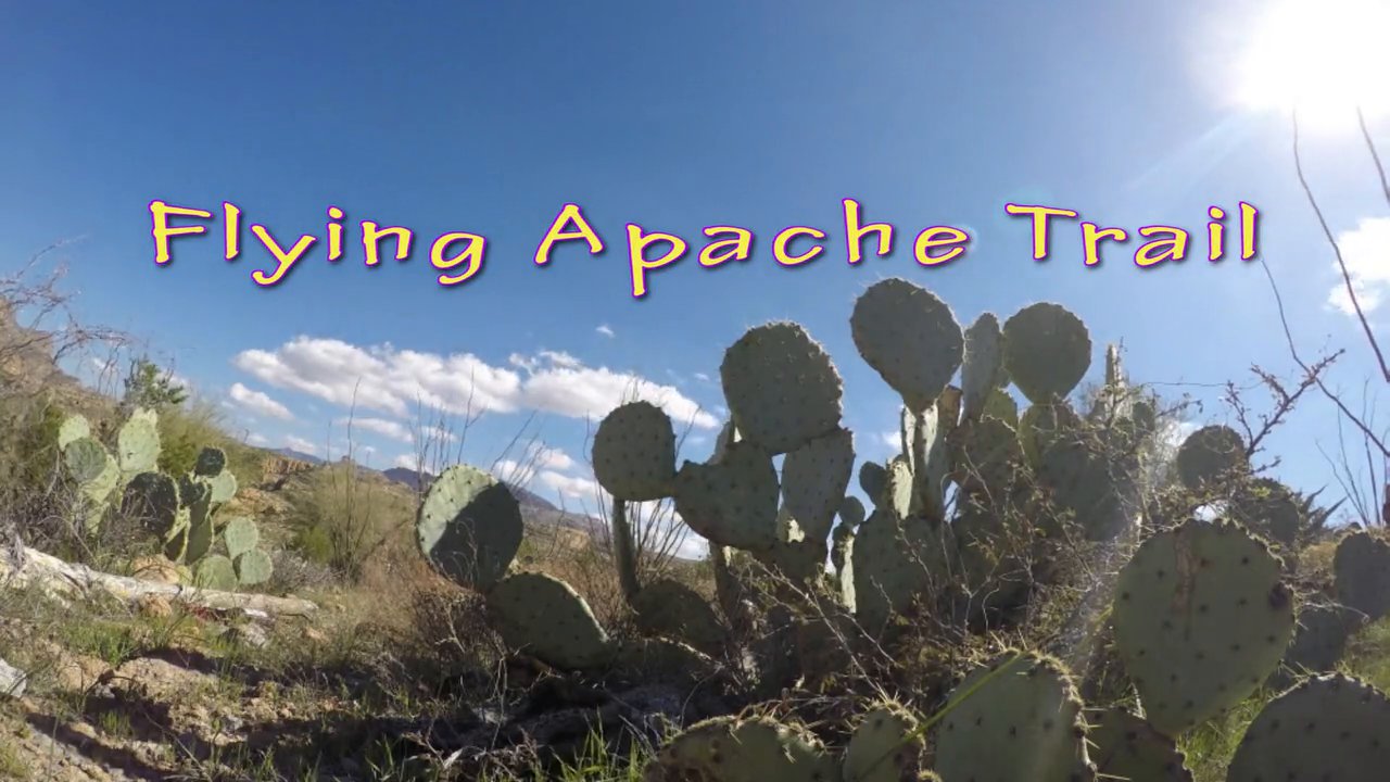
Flying through Canyons and around rock formations along the Apache Trail in Arizona. This is from the past month of my flights.
Filmed with: Phantom 2, GoPro 3+ Black
Likes and Comments are welcome. Enjoy watching. Thank you
Contact: In**@*********ve.com
Song: Are you Feeling this? – Licensed usage through AudioBlocks.com
The Apache Trail in Arizona was a stagecoach trail that ran through the Superstition Mountains. It was named the Apache Trail after the Indians who originally used this trail to move through the Superstition Mountains.
The Trail winds steeply through 40 miles (64 km) of rugged desert mountains, past deep reservoir lakes like Canyon Lake and Apache Lake. The narrow, winding road is unpaved from just east of the town of Tortilla Flat to Roosevelt Dam; there are steep cliff drops and little in the way of safety barriers.


